Introducing the first regional app for Hauraki Coromandel, seamlessly integrating real-time information on road travel, trails, tide times and weather with a comprehensive guide to the area’s offerings.


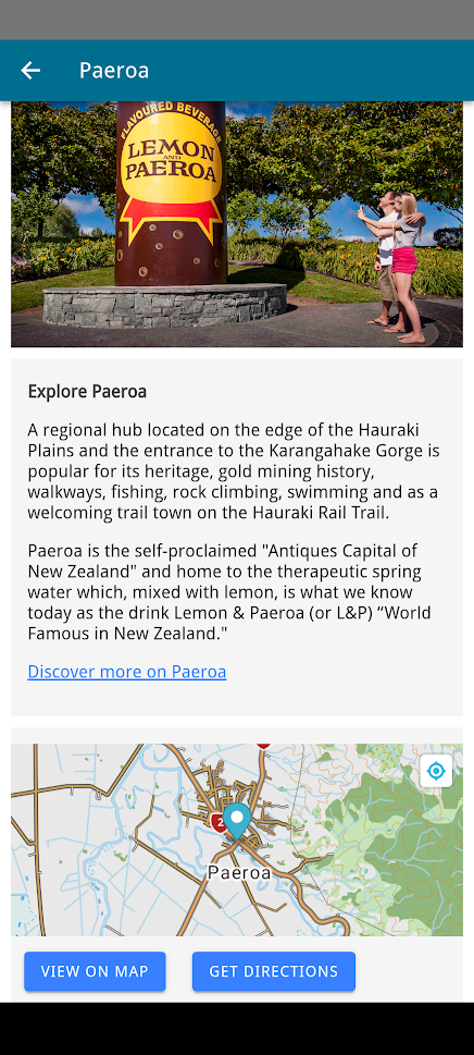
Groundtruth Ltd was commissioned by Destination Hauraki Coromandel to develop this app which serves as a virtual visitor centre for the region. As well as beautiful photographs, maps, and rich content, the app has a range of unique features and functions:
- Offline capability
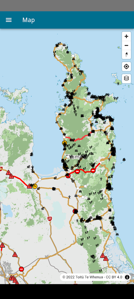
Mobile coverage is unavailable in many areas of the region and the app needed to work well without cell coverage. All maps and listings are available offline and sync up seamlessly whenever there is connectivity. - Up-to-date content and alerts
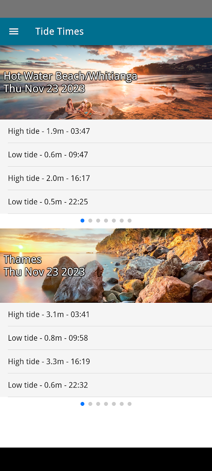
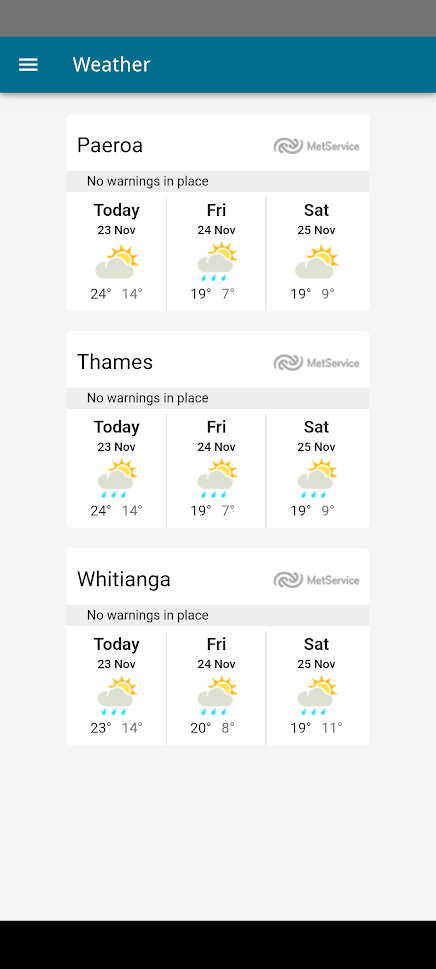
The app features maps and content pulled from a range of sources including MetService for weather, Waka Kotahi for highway information, Department of Conservation for track updates.
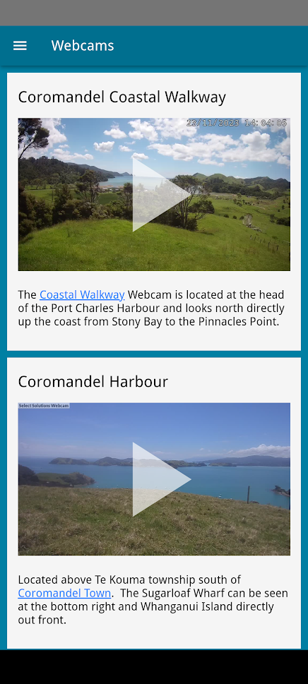
In addition, the DHC staff and other contributors can maintain content displayed in the app, including images, text, videos, and alerts, via a web-based content management system.
- Proximity alerts
The app can identify and optionally notify users when they are near an area of interest, an event, a road closure etc. - Push notifications
The Coromandel is prone to weather events. This function allows DHC to send notifications at any time to anyone who has the app installed. Use cases may be general weather warnings, flooding areas, slips, etc.
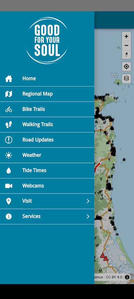


The essential guide to the latest updates, getting around and all there is to see and do in The Coromandel. The app is the ultimate tool for locals and visitors looking to make the best of their time.